Cut your town this weekend
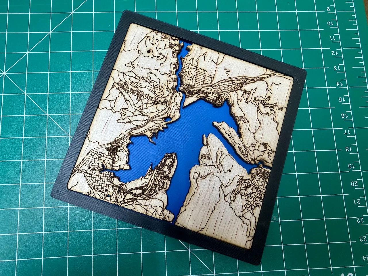
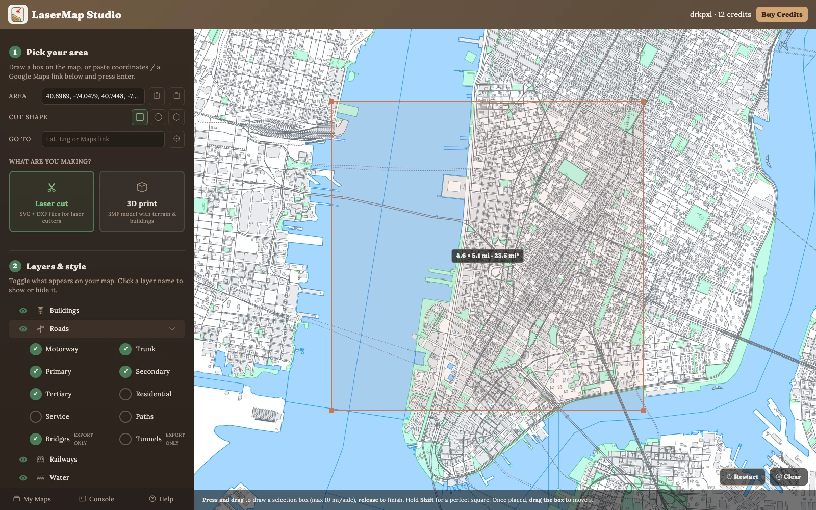
Draw a box on a map, get an SVG and DXF with cut and engrave already on separate layers — or a multi-material 3MF for your printer. Open it in LightBurn and run it.
3 free credits when you sign in. Previews cost nothing. No software to install.
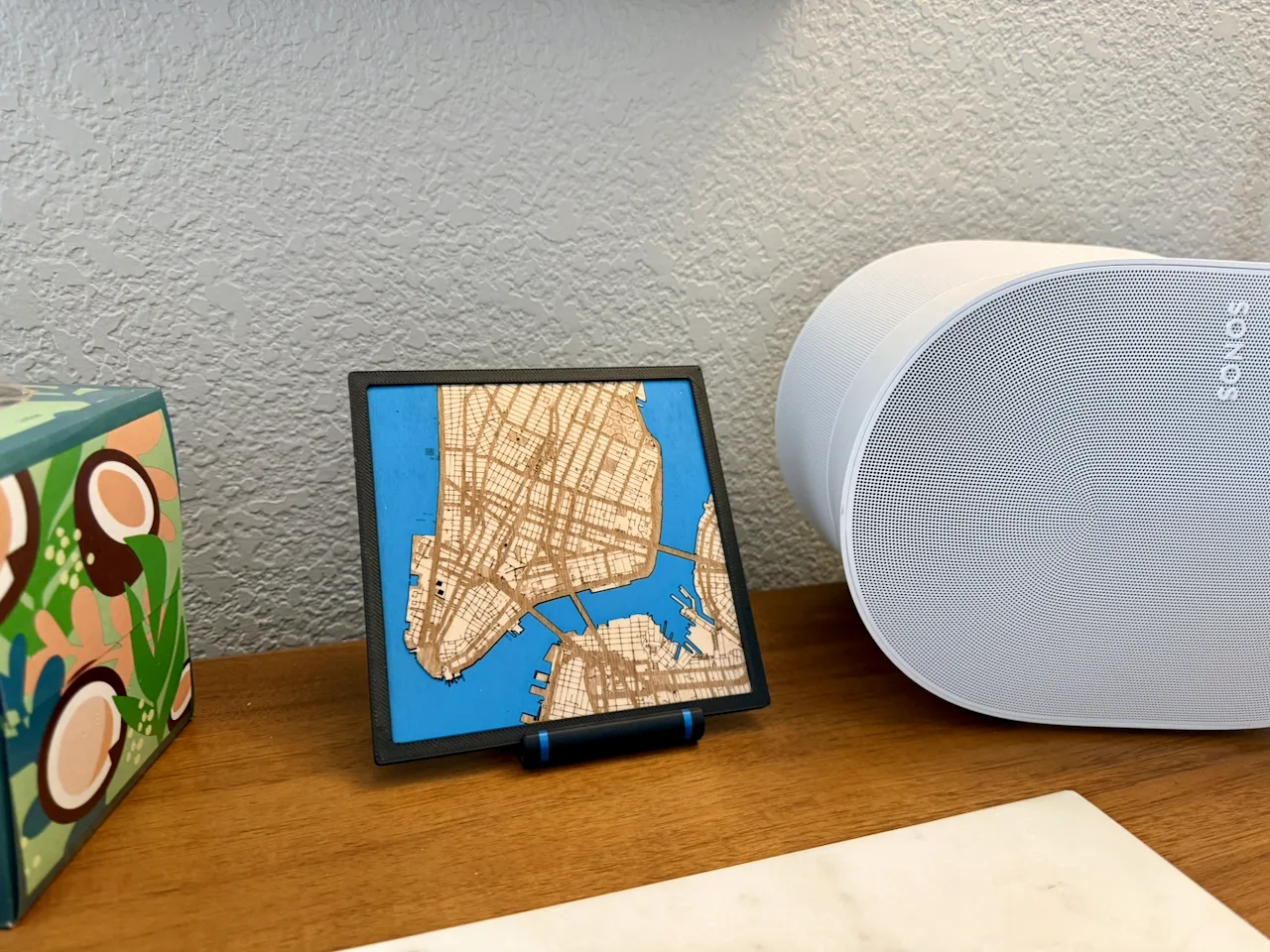
Lower Manhattan · basswood on blue acrylic · 6″
Three steps, about ten minutes
1
Find the place
Draw a box on the map, or paste a Google Maps link and press enter.
2
Turn layers on and off
Buildings, roads, water, parks, rail. Preview as many times as you like — previews are free.
3
Generate and cut
One credit when you hit generate. Download the files as often as you want after that.
Made with it
Every piece here started as a box on a map — draw, preview, generate, cut.
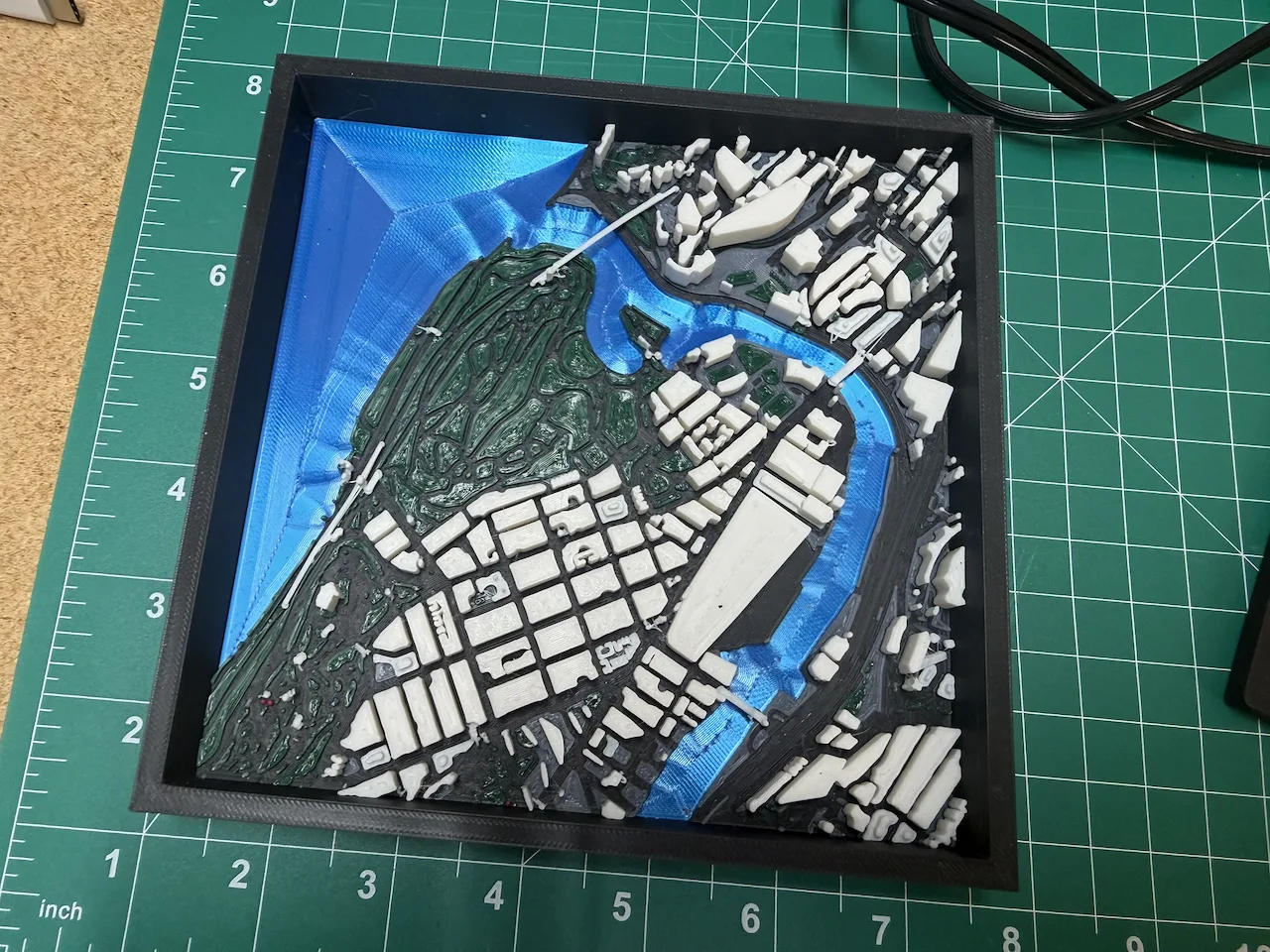
Upper Manhattan
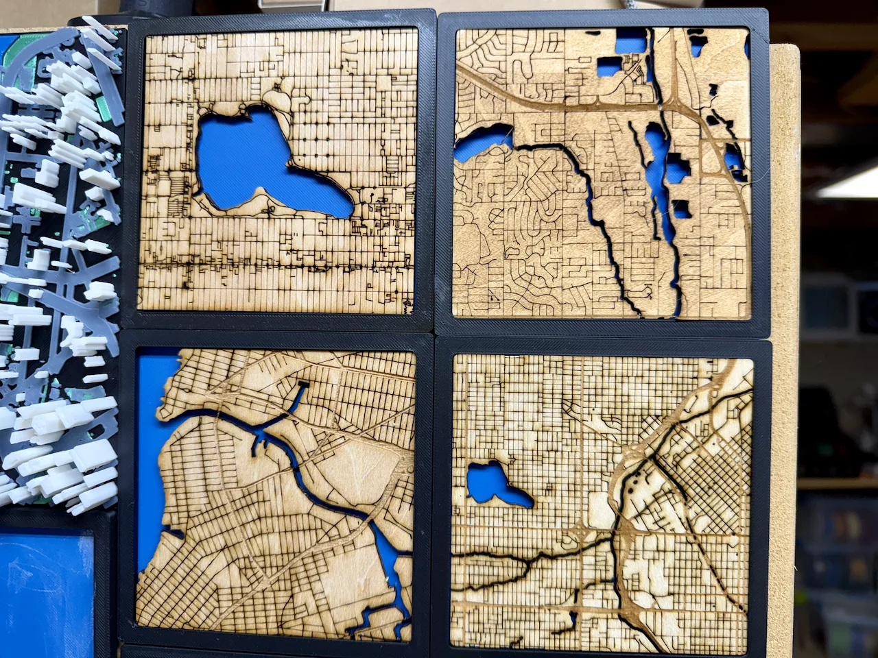
A Saturday's run
Built for the maker.
Most map generators hand you a mesh and call it done. Everything here is worked backwards from a cut file.
Cut and engrave on separate named layers
Passes are already assigned when the file opens
Lake islands stay hollow
Instead of filling solid black in LightBurn
DXF colours mapped for xTool Creative Space
Cut, score and engrave land in the right slots
The same box also exports a 3MF
Multi-material, if you have a printer too
No Subscriptions
$10 buys 50 credits and they don't expire. A credit is spent when you hit generate — terrain elevation costs three because it chews through satellite data. You can sell everything you make.
Full Pricing3
Free Credits to Start
∞
Free Previews
$0
No Card Needed Today
Pick a place you know
Your street, the lake house, the block you grew up on.